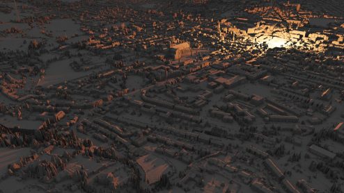
This is a snippet of video showing animated contours of high-resolution height-field data around Winchester. Distinct patterns can be seen in the water meadow tributories of the River Itchen, hills, human habitation, roads etc. Documentation is somewhat sparse at present, but this is work that I hope to develop further when I get the chance.
There is an open source repository with some more visuals. The software is not currently in a form that it is usable without specific setup, but is browser-based, and I will make it into a public website at some point.
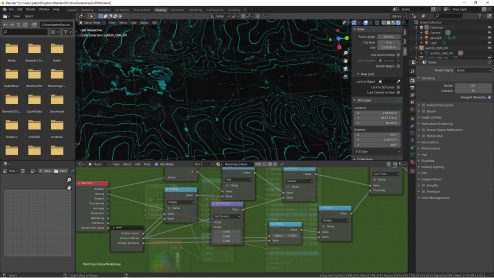
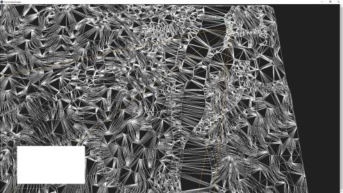
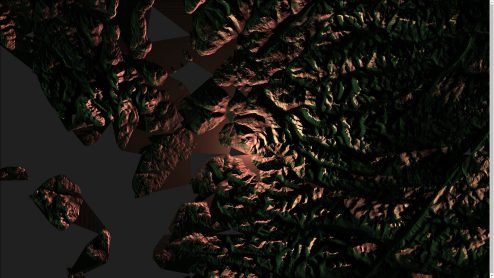
Some earlier renderings of initial prototype work starting in Blender and moving into a browser environment: